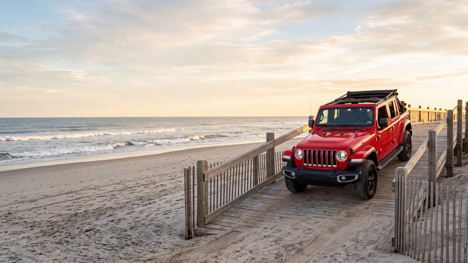
The seashore’s beaches are reached by numbered ORV ramps off NC-12. Ramp numbers roughly match mileposts, running north to south. Individual ramps open and close through the season for nesting closures and storm damage — always check the NPS beach access map the morning you drive. Here’s what each area is for.
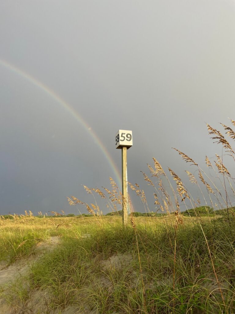
Bodie Island (north end)
The ramps south of Nags Head put you on the stretch near Coquina Beach and Oregon Inlet — closest sand to our lot, good first-day warmup, strong fishing near the inlet.
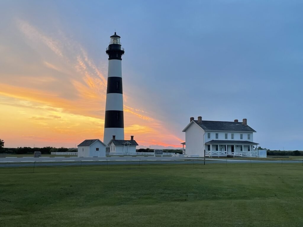
Rodanthe, Waves & Salvo
The tri-village ramps open onto long, quieter beach — fewer crowds than Cape Point, good for a family day where you park the Jeep at the water.
Avon
Mid-island access, and the jumping-off point for the pier area. Solid fishing beach either direction.
Buxton & Cape Point
The famous one. The Cape Point ramps south of the lighthouse lead to the Point itself — the sandbar where the currents meet, the most storied surf fishing spot on the East Coast, and the softest, deepest sand on the seashore. Air down, keep moving, and don’t stop in the churned lanes near the Point. Cape Point closes seasonally for nesting most years; when it’s open, it’s busy by sunrise.
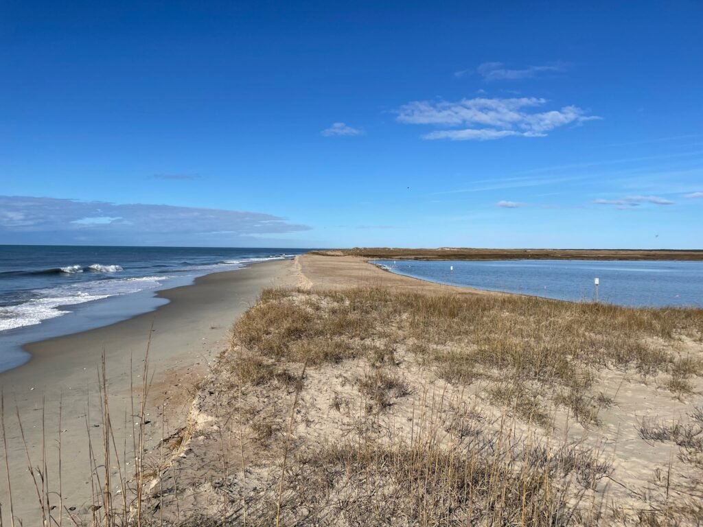
Frisco & Hatteras village
The southern ramps run toward Hatteras Inlet — big beach, spoil-bank fishing, and the last sand before the ferry docks. Stage here if you’re catching an early boat to Ocracoke.
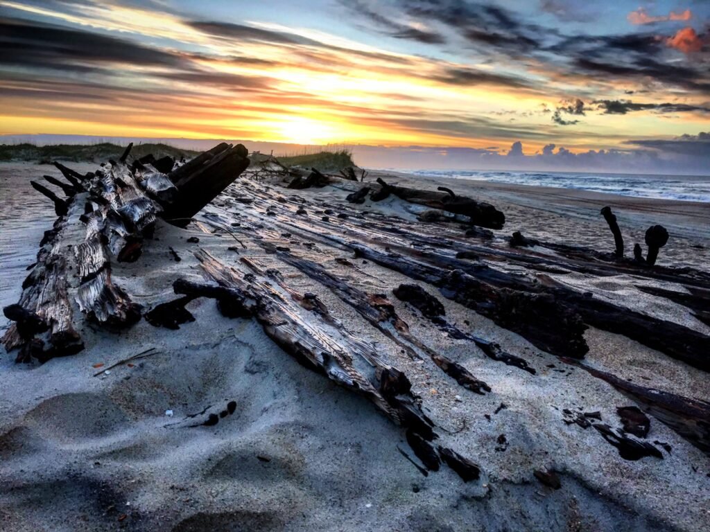
Ocracoke
Across the ferry, Ocracoke’s own ramps open onto some of the emptiest driveable beach on the East Coast. Same permit, same rules. Details on the crossing are in our Ocracoke day trip guide.
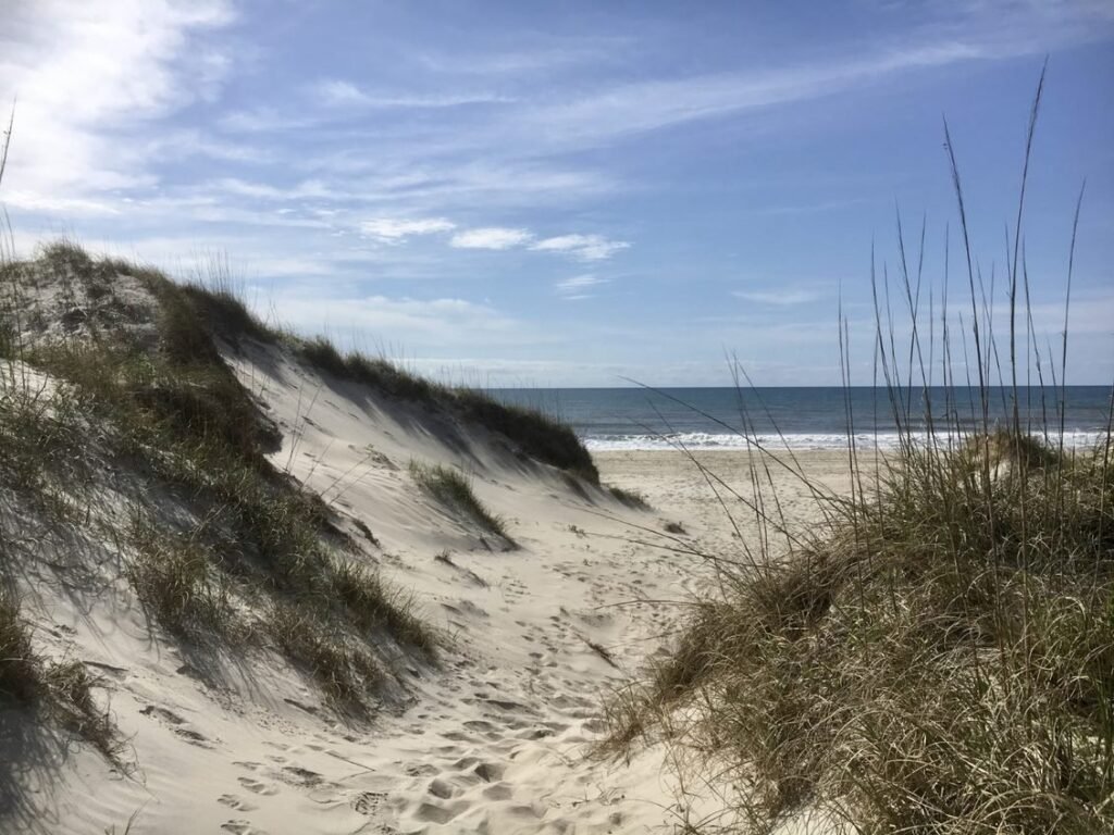
Before any ramp
Air down to sand pressure (we set you up at pickup), know today’s closures from the NPS map, carry the recovery gear (already in the vehicle), and time the drive around high tide — the beach is widest and hardest a couple hours either side of low. Our sister site obxtidecharts.com has the station-by-station numbers.